Menu:
Orienteering
This page: http://pierce.wesleyancollege.edu/faculty/MSP/orientex/index.html
Organizers:
Barry K. Rhoades, Ph.D. Associate Professor of Biology
James B. Ferrari, Ph.D. Professor and Chair of Biology
Schedule:
|
9:00 - 9:45 MSC 101 |
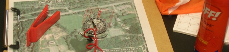
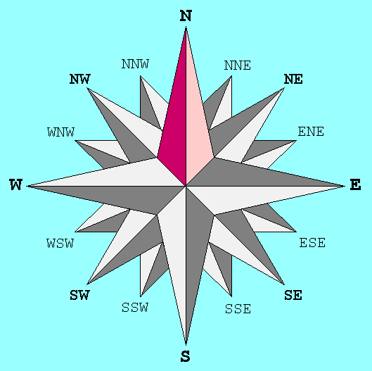
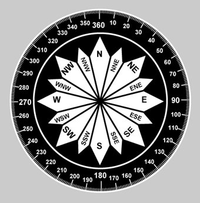
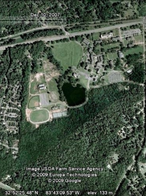
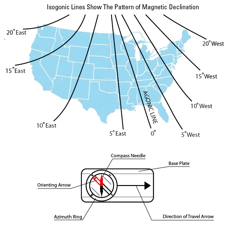
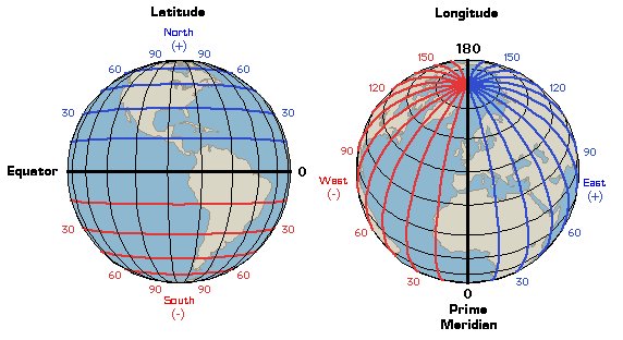
Standard orienteering problems navigating to a predetermined spot on a map following compass directions to a physical waypoint determining where the heck you are A simple online tutorial for map and compass orienteering magnetic north degrees, bearings, and headings Navigating by line-of-sight establishing a bearing to a landmark maintaining a navigation heading Using maps guide maps drawn maps aerial photo maps Wesleyan College - Google Earth topographical maps Locations triangulating your map location via landmarks latitude and longitude on the globe |
|
9:45 - 10:30 MSC Courtyard |
Location and distance establishing your GPS coordinates determining your stride length Orienteering practice |
|
10:30 -11:30 Wesleyan Campus |
Orienteering course with waypoints orienting your maps completing the course mapping your route Wesleyan front campus aerial photo map orienteering course setup guide (read AFTER completion) |
|
11:30 - 12:00 MSC 101
|
How to establish your own course Bottom-up - using landmarks and pacing Top-down - using GoogleEarth cursor and ruler |
Rev. 1.10