Menu:
Circuit Orienteering
This page: http://pierce.wesleyancollege.edu/faculty/MSP/orientex/circuit.html
For this exercise you will create, navigate, and document a short orienteering circuit with three legs and two "waypoints". This will help you learn how to set up an orienteering course on your own school campus.
1) Choose a starting location on the MSP Plaza. Place a marker at this location. Enter a brief description as "Start/Finish" in the table below. Determine the GPS coordinates of your starting point and enter them in Table 1 below.
2) Choose a two prominent landmarks or features, each at least 15 paces away. Trees, shrubs, lamp posts, etc. work well for this. These will be your two waypoints. Enter brief descriptions as "Waypoint 1" and Waypoint 2" in Table 1.
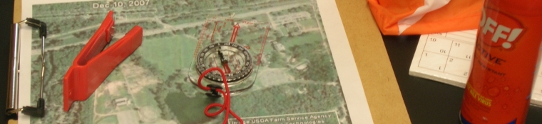
3) Standing at the Start, establish a bearing from the Start to Waypoint #1. Enter this as "Bearing to Waypoint #1" in Table 1.
4) Walk to Waypiont #1 along this heading, counting your paces as you go. Remember that each "pace" is actually a right foot and a left foot step. Enter the number of paces and the corresponding number of meters in Table 1.
5) Take a GPS reading and enter these coordinates for Waypoint 1 in Table 1.
6) Establish a bearing from Waypoint#1 to Waypoint #2. Enter this as "Bearing to Waypoint #2" in Table 1.
7) Walk to Waypiont #2 along this heading, counting your paces as you go. Enter the number of paces and the corresponding number of meters in Table 1.
8) Take a GPS reading and enter these coordinates for Waypoint 2 in Table 1.
9) Establish a bearing from Waypoint#2 back to the Start. Enter this as "Bearing to Start/Finish" in Table1.
10) Walk back to the Start along this heading, counting your paces as you go. Enter the number of paces and the corresponding number of meters in Table 1.
11) Copy the appropriate values from Table 1 into Table 2. "Leg 1" extends from the Start to Waypoint 1, "Leg 2" extends from Waypoint 1 to Waypoint 2, and "Leg 3" extends from Waypoint 2 back to the Start.
Table 1
|
Start/Finish: |
|
GPS Coord. |
N W |
|
Bearing to Waypoint 1: |
|
Distance: |
Paces: Meters: |
|
Waypoint 1: |
|
GPS Coord. |
N W |
|
Bearing to Waypoint 2: |
|
Distance: |
Paces: Meters: |
|
Waypoint 2: |
|
GPS Coord. |
N W |
|
Bearing to Start/Finish: |
|
Distance: |
Paces: Meters: |
Table 2
Starting point:
Leg 1 Heading: Distance in meters:
Leg 2 Heading: Distance in meters:
Leg 3 Heading: Distance in meters:
Table 1 provides all of the information you would need to set up your new orienteering course at a later date. Table 2 constitutes the instructions for someone else to follow the course which you have just created.
Give Table 2 to one of your classmates or instructors and let them try it out! See if he/she can correctly identify your waypoints and successfully navigate back to the starting point.
Back to Orienteering Main Page
Rev. 6.10